
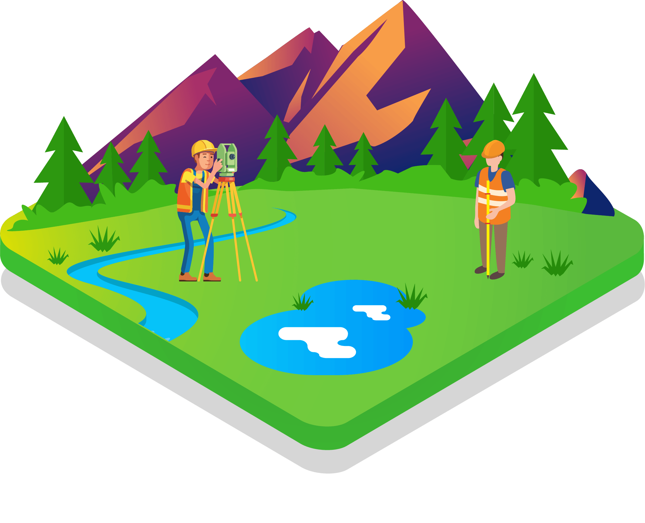
Primary control network, Statics and real-time observation, Surveying and setting out & Survey control see more...
Read More
Satellite Image provision, Environmental studying, Crop health and fertilizer analysis & Vegetation In see more...
Read More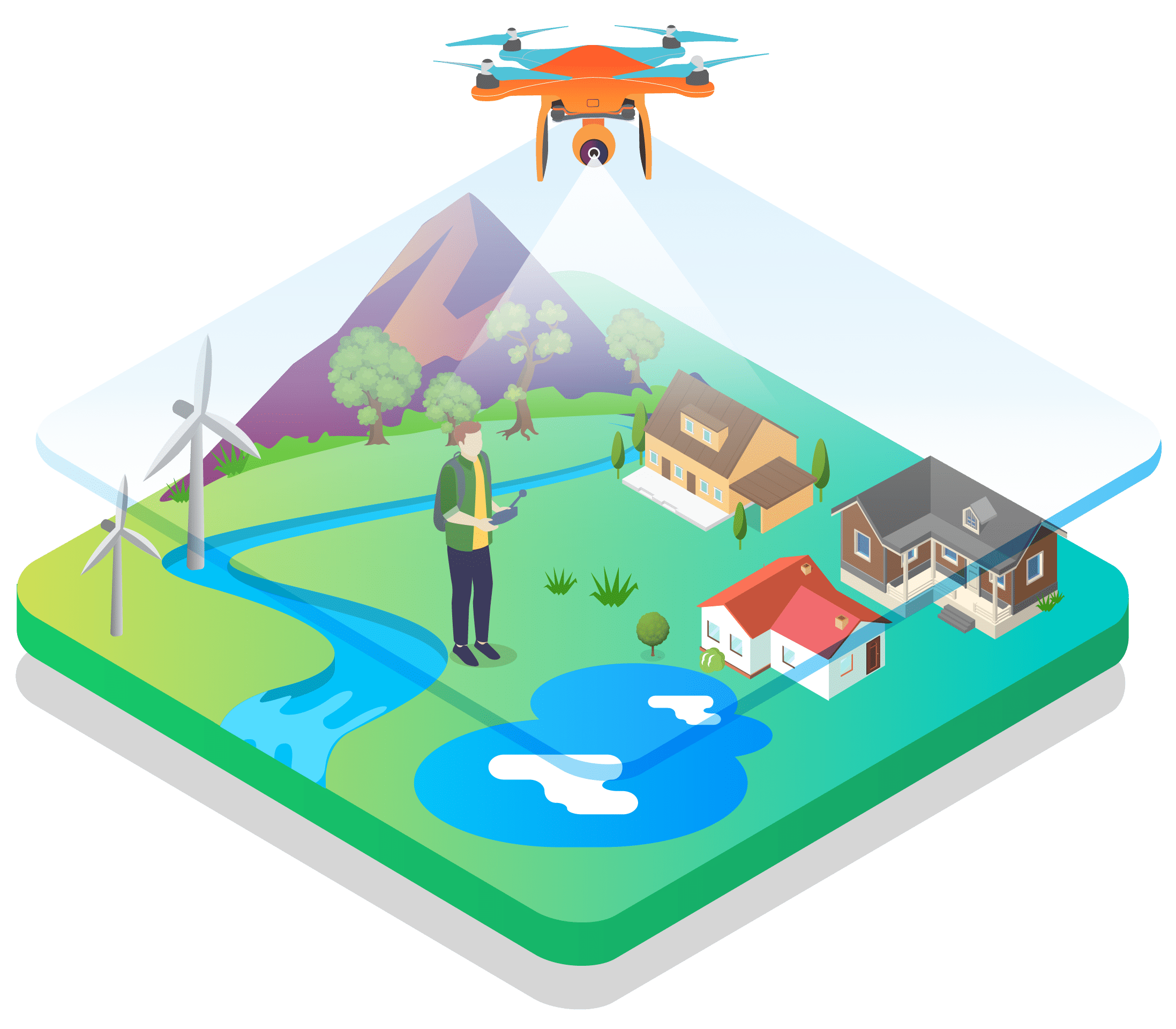
Contour map generation, Profile and cross-section drawing, Area computation, Volume estimation, Constr see more...
Read More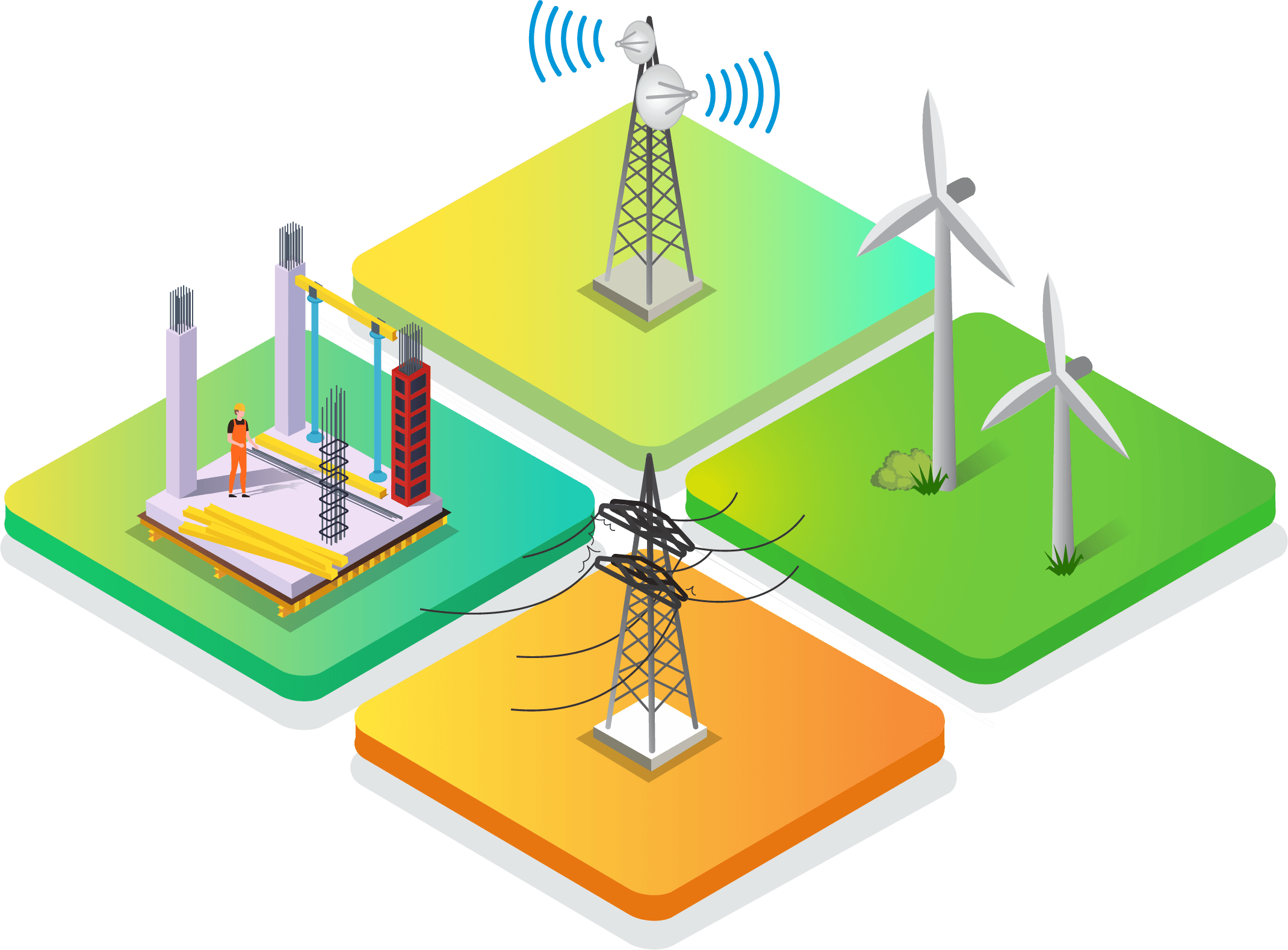
GPS instrument, Total Station instrument, AutoCAD and Autodesk Civil 3D software & Arc GIS software
Read More