info@geomatics-solution.com
+964 750 454 4576
English
English
کوردی
Home
Services
UAV Imagery
GPS Control Survey
Remote Sensing
Engineering Survey
Topographic Survey
As-Built Survey
Cadastral Survey
Corridor (Route) Survey
Control Survey
Monitoring
Geographic Information System
Training Courses
Hydrology and Hydraulic service
Portfolios
Features
Team Members
Career
Event Calendar
Gallery
FAQ
Blogs
Training
Other
About Us
Contact
Terms & Conditions
Privacy Policy
Request a Quote
Portfolio Details
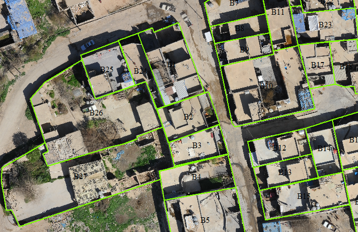
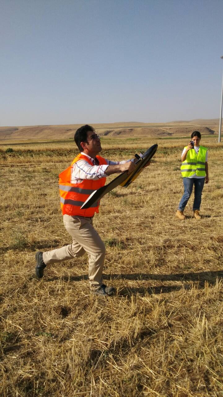
Raparin Geodetic Network
Home
Portfolio Details
Raparin Geodetic Network
Raparin Geodetic Network
Client Name
:
Raparin Directorate
Service
:
GPS Control Survey
Start Date
:
1st December, 2019
End Date
:
20th December, 2019
Status
:
Completed
SUBSCRIBE
SUBSCRIBE FOR NEWSLETTER
Your experience on this site will be improved by allowing cookies.
Allow Cookies